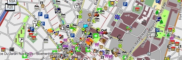
Sunday 20 May 2012

NAVMAPS.eu

Navigation maps

Netherlands - Nederland - Les Pays-Bas

Amsterdam        

Belgium - België - Belgique

Brussels    

Luxembourg - Luxemburg

Diekirch

  • Netherlands - Nederland - Les Pays-Bas

  • Belgium - België - Belgique

  • Luxembourg - Luxemburg

  • Increase font size
  • Default font size
  • Decrease font size
  • default style
  • blue style
  • green style
  • red style
  • orange style

Below you find three Openstreetmap based maps for Garmin navigation devices like the Nüvi. These maps support four languages: Dutch, English, French and German. The Benelux map will be updated two times a month. The next update of the Central European and North-West Europe map will be available at the end of May.

Download map Date Size (zipped) Size (unzipped) Countries
Benelux May 5, 2012 0,36 GB 0,47 GB Netherlands, Belgium, Luxembourg
         
Central Europe April 27, 2012 2,75 GB 3,89 GB Andorra, Austria, Belgium, Bosnia Herzegovina, Czech Republic, Croatia, Denmark, France (incl. Corsica), Germany, Guernsey, Hungary, Italy (incl. Sardinia), Jersey, Luxembourg, Malta, Netherlands, Poland, Portugal, Sardinia, Slovakia, Slovenija, Spain, Switzerland 
         
North-West Europe April 27, 2012 2,50 GB 3,51 GB Belgium, Czech Republic, Denmark, Estonia, Finland, France (partially), Germany, Great Britain, Guernsey, Iceland, Ireland, Jersey, Latvia, Lithuania, Luxembourg, Netherlands, Norway, Poland, Slovakia, Sweden.

Openstreetmap or OSM is open-source, in contrast to the closed-source maps from TeleAtlas and Navteq. OSM is being built by a lot of volunteers in a Wikipedia-like style. It's not perfect, but every day it's getting better: worldwide about 10.000 bigger and smaller changes are made every day. The Benelux and Central/North-West Europe maps support routing by car, bike and foot, basic street search and searching for several thousands POI's per country.

These maps have disadvantages (especially adress search, lane assist and traffic information), but also some advantages over the professional maps: the maps can be downloaded free of charge, cycleways and footways are a lot better, map updates are available weekly/once a month and they've got a good looking lay-out. A sixth advantage over professional maps is that changes you make (through www.openstreetmap.org) are updated automatically and will be available for download in a map update in a few days/weeks time. Changes you would like to make in professional maps might never make it into the quarterly map updates of these suppliers.

Unzip your download, copy the gmapsupp.img file to the Garmin folder on your SD-card and change the map in your PND (on a Nüvi: tools -> settings -> map -> map info).